

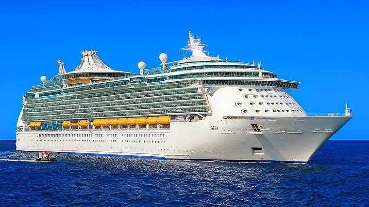
// NAVIGATOR OF THE SEAS SHIP TRACKER
Where is the Navigator of the Seas Right Now?
Navigator of the Seas — where is it now? Our ship tracking tool shows the current location of Navigator of the Seas is at sea, sailing from San Pedro (Los Angeles), California to Hakodate, Japan — 19% of the way across.
Status
At sea
Avg pace this leg
18.2 kn
Next port
Hakodate, Japan
Arrives
Wed, Oct 14, 6:30 AM
Voyage
14% complete
The Navigator of the Seas current location shown above is derived from the ship’s itinerary and charted route, interpolated to the current time. The ship’s positioning is exact at each destination and estimated between ports. This is not an AIS position report. Position last calculated Oct 5, 2026, 3:34 AM UTC.
15 Night Transpacific (Los Angeles To Yokohama)
15 nights · departed Fri, Oct 2 · Royal Caribbean Cruise Line
Where does Navigator of the Seas go?
Navigator of the Seas sails from Singapore, Yokohama (tokyo), Japan and San Pedro (Los Angeles), California. These are the ports the ship is scheduled to call at over the coming months, most frequent first.
Singapore · 53Penang (pulau Pinang), Malaysia · 24Phuket, Thailand · 13Langkawi (pulau Langkawi), Malaysia · 4Bangkok, Thailand · 2Yokohama (tokyo), Japan · 2Chan May (hue), Vietnam · 1Cross International Dateline · 1Hakodate, Japan · 1Hong Kong · 1Nagasaki, Japan · 1Phu My (ho Chi Minh City), Vietnam · 1San Pedro (Los Angeles), California · 1Sapporo, Japan · 1Seogwipo, Jeju Island, South Korea · 1Shimizu, Japan · 1
Navigator of the Seas tracking questions
// Keep tracking
Every lineTrack All Ship LocationsLive positions for every cruise ship at sea right now, on one map.Royal Caribbean Cruise LineAll Royal Caribbean TrackingWhere every Royal Caribbean ship is right now, with the whole fleet on a single map.Deck plansNavigator of the Seas Deck PlansDeck-by-deck layouts, cabins and venues aboard Navigator of the Seas.