
Cruise Quest app screenshots
New
The Cruise Quest app is here.
Bar Bingo & Cruise Cameo · works offline!
// MENU
HomeCruise SearchShipsPortsBlog
// HARMONY OF THE SEAS SHIP TRACKER

Where is the Harmony of the Seas Right Now?

Harmony of the Seas — where is it now? Our ship tracking tool shows the current location of Harmony of the Seas is at sea, sailing from Port Canaveral, Florida to Perfect Day At Coco Cay, Bahamas — 70% of the way across.

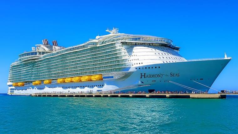
Harmony of the Seas cruise ship at sea
Status
At sea
Avg pace this leg
5.7 kn
Next port
Perfect Day At Coco Cay, Bahamas
Arrives
Thu, Aug 20, 7:00 AM
Voyage
32% complete

The Harmony of the Seas current location shown above is derived from the ship’s itinerary and charted route, interpolated to the current time. The ship’s positioning is exact at each destination and estimated between ports. This is not an AIS position report. Position last calculated Aug 20, 2026, 12:27 AM UTC.

4 Night Bahamas & Perfect Day (Port Canaveral Roundtrip)

4 nights · departed Tue, Aug 18 · Royal Caribbean Cruise Line
01
Tue, Aug 18
Dep 4:00 PM
02
Thu, Aug 20
Arr 7:00 AM · Dep 5:00 PM
03
Fri, Aug 21
Arr 7:00 AM · Dep 2:30 PM
04
Sat, Aug 22
Arr 6:00 AM

Where does Harmony of the Seas go?

Harmony of the Seas sails from Port Canaveral, Florida. These are the ports the ship is scheduled to call at over the coming months, most frequent first.

Harmony of the Seas tracking questions

Where is Harmony of the Seas right now?

Harmony of the Seas is currently 32% of the way through its 4 Night Bahamas & Perfect Day itinerary. Right now, the ship is at sea, sailing from Port Canaveral, Florida to Perfect Day At Coco Cay, Bahamas — about 70% of the way across. It is due to arrive Thu, Aug 20 at 7:00 AM local time.

What is Harmony of the Seas's current location?

Harmony of the Seas's current location is approximately 26.23° N, 79.06° W. The position updates as the voyage goes on, so the ship moves along its route in step with its schedule.

Which ports does Harmony of the Seas visit?

Harmony of the Seas sails from Port Canaveral, Florida. Its scheduled ports of call over the coming months include Perfect Day At Coco Cay, Bahamas, Nassau, Bahamas, Charlotte Amalie, St. Thomas, Cozumel, Mexico, San Juan, Puerto Rico, Philipsburg, St. Maarten and Puerto Plata, Dominican Republic.

Is there a live Harmony of the Seas map?

Yes. The Harmony of the Seas map on this page plots the ship on its charted route. The distance already sailed is drawn as a solid line, and the distance still to go is dashed. Every port on the itinerary is marked, and the next one is highlighted.

How does this Harmony of the Seas ship tracker work?

The tracker works out the ship's position from its published itinerary and the charted route between its ports. It then estimates how far along that route the ship should be right now. So the position is exact at each destination and an estimate in between. It is not an AIS report, and will not show an unplanned diversion or a delay.

Sign up or
Sign in

Save your cruise, track reviews for your cabin, set cruise price drop alerts, & more with an account.

No password needed · Sign-in code sent